Driller Operable Geophysics
Geological logging can be qualitative, slow and subjective, sometimes with little support for the first pass assessment of drilling material. Imagine knowing where your critical lithological boundaries before the first time you see the rocks?
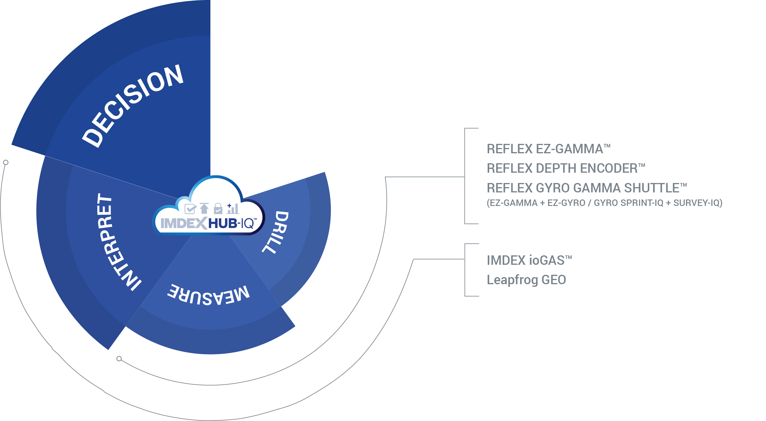
Using IMDEX’s end-to-end Driller Operable Geophysics solution, gamma logs can be interpreted in near real-time, even before the core has left the rig.
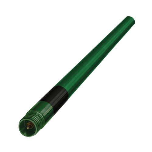
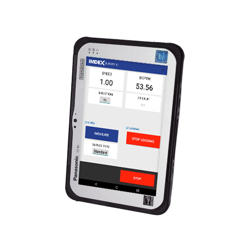
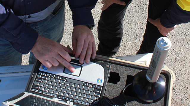
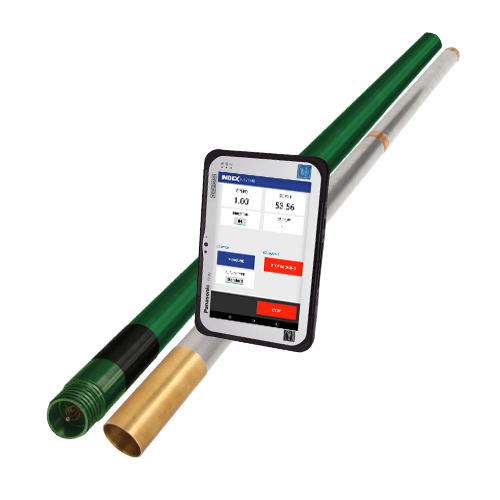
On site, the REFLEX GYRO GAMMA SHUTTLE™ allows efficient and simultaneous survey and gamma logging, completed by a member of the drill crew. This unique combination of instruments saves time and eliminates the need for a costly technician together with logging truck on site.
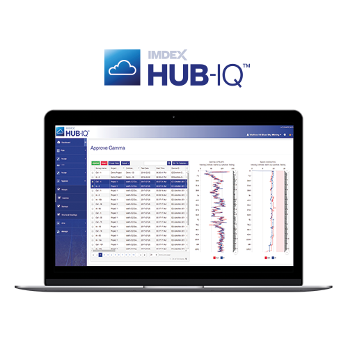
Results are available for approval immediately via IMDEXHUB-IQ™, so geologists can review the data before the rig moves on and without the risk of hole collapse.
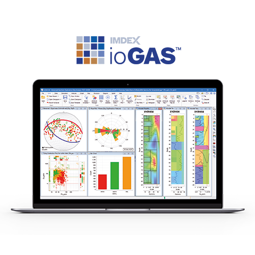
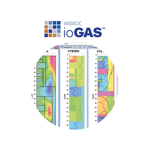
Synchronisation with ioGAS™ allows geoscientists to visualise critical lithological boundaries using the automated wavelet tessellation function, as well as determine potential areas of alteration and cross correlation between drillholes.
Industry challenges
An end-to-end solution like IMDEX's Driller-Operable Geophysics solution can assist clients facing:High cost and remoteness of site impeding the attainment of geophysical data on a routine basis
Collapsed holes preventing open hole logging
Lack of coherent geophysical data acquisition
Managing additional contractors and equipment on site
IMDEX's end-to-end Driller Operable Geophysics solution
An end-to-end solution like the Driller Operable Geophysics solution offers all the associated benefits of working with one trusted technology provider for a complete solution. Resource companies can now benefit from operational efficiencies by utilising one company offering the integration of award-winning technology to digitise key workflow processes, supported by unrivalled geological expertise.REFLEX SURVEY-IQ™
REFLEX GYRO GAMMA SHUTTLE™
Geological logging can be qualitative, slow and subjective, sometimes with little support for the first pass assessment of drilling material. Imagine knowing where your critical lithological boundaries before the first time you see the rocks?

